Akarea: Difference between revisions
Appearance
mNo edit summary |
m pronunciation |
||
| Line 22: | Line 22: | ||
|footnotes = yeah | |footnotes = yeah | ||
}} | }} | ||
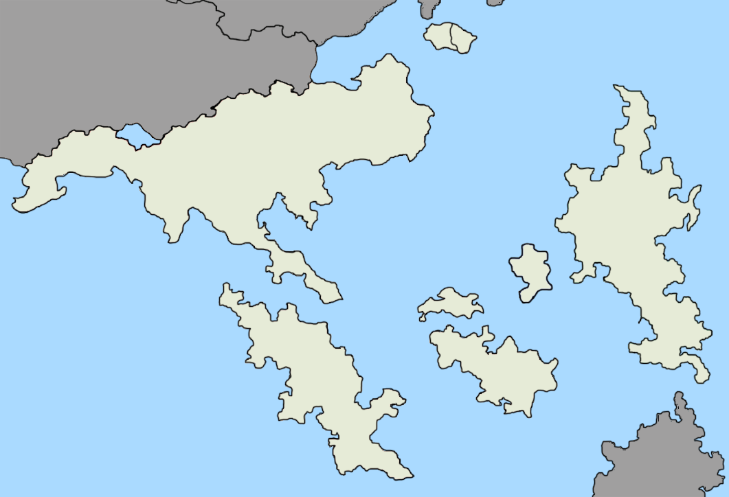
'''Akarea''' ( | '''Akarea''' (/ˈækʌˈreɪːə/, ah-kah-RAY-ah) is a geographic region comprising the southernmost portion of contiguous [[Kaltachia]] south of the [[Cenaesian Mountains|Cenaesian mountain range]], the islands of [[Gaanglanglataar]], [[Bantang]], [[Satoyama]], [[Hykko]] and as many as 50,000 other small islands in the [[Danpian|Akarean Danpian]] island belt. All of the territories in Akarea except for [[Republic of Satoyama|the eastern half of Satoyama]], Hautsing and Hykko are part of the [[Akarean Union]]. | ||
Latest revision as of 00:29, 23 March 2025
 Map of Akarea | |
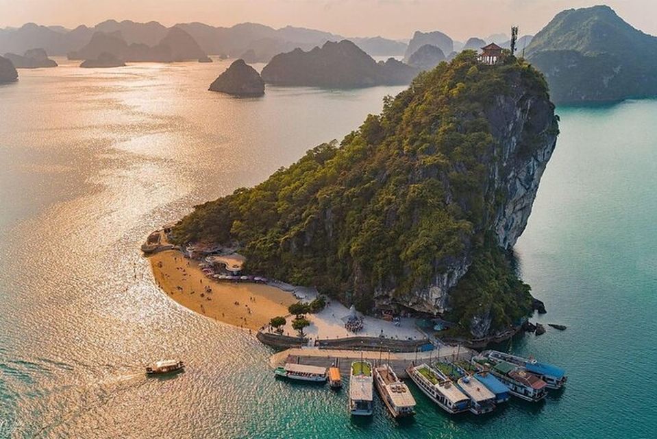
 Hsiaojiua Island, Akarean Union | |
| Area | enough |
|---|---|
| Population | yeah |
| Population density | quite |
| GDP (nominal) | heaps |
| HDI | massive |
| Ethnic groups | Huan, Satoyaman, Hykkogwa, Gaanglanglataal |
| Religions | loads |
| Countries | Akarean Union, Candanadium (Hautsing), Satoyama and Hykko |
| Languages | several |
| yeah | |
Akarea (/ˈækʌˈreɪːə/, ah-kah-RAY-ah) is a geographic region comprising the southernmost portion of contiguous Kaltachia south of the Cenaesian mountain range, the islands of Gaanglanglataar, Bantang, Satoyama, Hykko and as many as 50,000 other small islands in the Akarean Danpian island belt. All of the territories in Akarea except for the eastern half of Satoyama, Hautsing and Hykko are part of the Akarean Union.
